



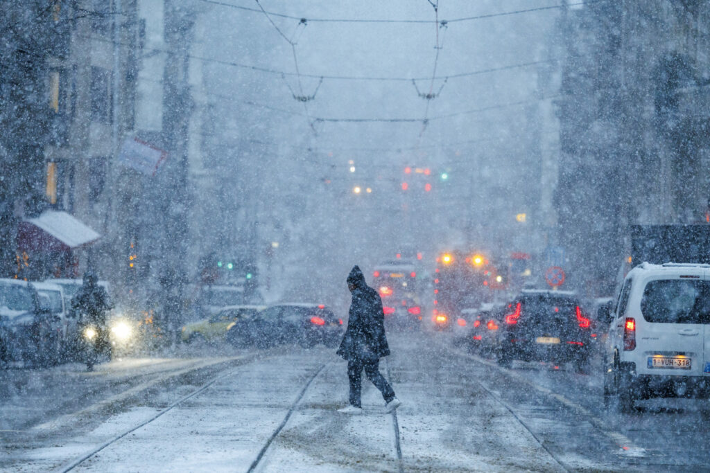

Belgium, Ardennes Region: A shifting weather pattern brings rain, snowmelt, and frost risks as temperatures fluctuate across regions through the weekend and into Monday
A dynamic and unsettled weather pattern is set to grip Belgium this weekend, as a slow-moving rain front advances across the country, bringing a mix of precipitation, fluctuating temperatures, and potential travel hazards.
According to forecasts from the Royal Meteorological Institute (RMI), conditions on Saturday will mark the beginning of a transitional phase, with wintery remnants lingering in higher elevations and more typical spring conditions emerging elsewhere.
By Saturday morning, the rain front is expected to move gradually towards Germany, impacting eastern regions first. In the elevated plateaus of the Ardennes, colder air will allow precipitation to fall as melting snow or wet snow, raising the possibility of temporary accumulations in higher terrain.
Meteorologists note that while snow is unlikely to persist for long due to marginal temperatures, the combination of moisture and cold air could still create slushy conditions, particularly on untreated surfaces and rural roads.
Elsewhere across the country, drier air is forecast to push in from the west, bringing brighter intervals during the day. Sunshine may break through cloud cover intermittently, offering short-lived relief from otherwise grey and damp conditions.
However, the improved weather will be far from stable. Isolated showers are expected to develop throughout the day, some of which could be locally intense. These showers may be accompanied by small hail, adding an element of unpredictability to the day’s weather.
By the afternoon and early evening, these showers are likely to become more concentrated in western regions, where atmospheric instability will be slightly higher. Temperatures will reflect the regional contrasts, with highs reaching around 4°C in the Ardennes, compared to approximately 10°C in central parts of the country.
As Saturday transitions into evening, the weather is expected to deteriorate once again. Forecasters warn of more intense showers developing, particularly in western Belgium, with the possibility of small hail and melting snow continuing.
These wintery showers will gradually shift eastward during the night, though they are expected to weaken as they progress. Despite this, conditions could still become hazardous in certain areas, especially where precipitation coincides with falling temperatures.
One of the primary concerns overnight will be the formation of frost and icy patches. As temperatures drop, moisture left behind by earlier showers may freeze, creating slippery conditions on roads, pavements, and bridges.
The risk will be particularly pronounced in eastern parts of the country, where temperatures are forecast to dip lower. In the Ardennes, overnight lows could reach around -2°C, while central Belgium may see temperatures around 2°C. Coastal areas will remain milder, with readings near 6°C.
Authorities are urging motorists and pedestrians to remain cautious, especially during the late evening and early morning hours when visibility may also be reduced due to localized mist or fog.
Sunday is expected to bring a brief period of calmer and more settled weather, although conditions will still vary across regions. In the Ardennes, early morning low cloud and freezing mist may initially limit visibility.
These conditions are expected to clear relatively quickly, giving way to brighter skies and improved visibility. Across much of Belgium, the day will be predominantly dry, with a mix of sunshine and scattered clouds providing a more typical early spring atmosphere.
Temperatures will remain modest, with daytime highs ranging between 6°C and 11°C, depending on location. The relatively calm conditions may encourage outdoor activities, although meteorologists caution that the improvement will be temporary.
By Sunday afternoon, cloud cover is expected to increase once again, signaling the approach of another weather system. By evening, a fresh rain front is forecast to reach western Belgium, bringing renewed rainfall and marking the start of another unsettled phase.
The new system will set the stage for a more active weather pattern on Monday. Forecasts indicate that the day will be characterized by frequent showers, some of which could be heavy at times.
In lower and central regions, these showers will largely take the form of rain, contributing to a distinctly spring-like feel despite the cool temperatures. However, in higher areas such as the Ardennes and the High Fens, colder conditions will allow for wintery precipitation to return.
This mix of rain and snow highlights the transitional nature of the current weather pattern, as Belgium moves from winter into spring. The variability in temperature and precipitation type reflects the ongoing battle between lingering cold air and incoming milder air masses.
Temperatures on Monday will continue to show regional variation. In the High Fens, values could remain as low as 3°C, while central Belgium is expected to reach around 9°C. Western regions may see slightly warmer conditions, with highs near 10°C.
Meteorologists emphasize that such fluctuating conditions are typical for this time of year, but they can still pose challenges, particularly for transport and daily activities. Sudden changes in weather, combined with localized hazards such as icy patches or hail, require increased awareness from the public.
Looking ahead, forecasters suggest that the unsettled pattern may persist beyond Monday, with further disturbances likely to affect the region. While longer-term predictions remain uncertain, the immediate outlook points to continued variability.
For now, residents across Belgium are being advised to stay updated with the latest forecasts and to prepare for rapidly changing conditions. From melting snow in the Ardennes to rain showers in the west, the coming days will showcase the full range of early spring weather.
This article was created using automation technology and was thoroughly edited and fact-checked by one of our editorial staff members